finding Etham
Finding Etham
The Israelites second camp was Etham, which was at the edge of the Red Sea Wilderness. This is best translated in the Douay Rheims Bible as “the utmost coasts of the wilderness." בקצה המדבר The wilderness referred to here is the Red Sea Wilderness. It lies between the two gulfs of the Red Sea, which are the Gulf of Suez and the Gulf of Aqaba. Wildernesses are generally mountainous uncultivated lands which in this case embodies the Tih plateau. Verse 17 -18 in the Stone addition notes “God led them not through the way of the land of the Philistines although that was near; for God said, Lest perhaps the people repent when they see war, and they return to Egypt; But God led the people around, through the way of the wilderness of the Red Sea; and the people of Israel went up armed out of the land of Egypt.”
Crossing the Plateau the Israelites expected to go to Canaan through Kadesh Barnea from which they would twice try unsuccessfully to conquer Canaan. God however had told Moses to bring the Children of Israel to Mount Sinai to worship and wanted to avoid immediate war. It would have been a difficult task to convince Israel to go to Midian first before conquering Canaan unless by some miracle (the crossing of the Red Sea) they would trust God and Moses’ leadership. Exodus 14:31 The Kadesh Barnea identified by Robinson and Smith in their expedition to Palestine 1838 is the more likely location since it lies at the Border of Edom which is Mount Seir and near Mount Hor where Aaron died and was buried just west of Petra. Numbers 20:16
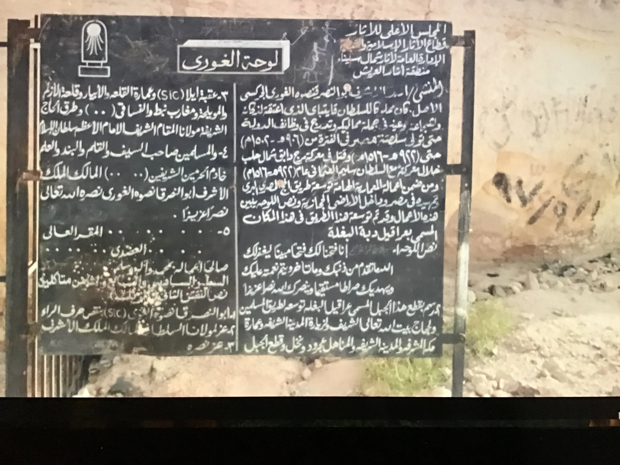
Etham still carries its original name in the well of El Thamad which lies at the eastern edge of the Tih Plateau. It lies at the intersection of the road north to Kadesh Barnea and the Ramses III route to Midian. It is marked by a petroglyph commemorating a sultans contribution to the Hajj route. It is not surprising then, that here, at Etham, God told Moses to turn back from an immediate conquest of Canaan and take the Ramses III route to the Red Sea 29 miles eastward to Pi Hahiroth.
To Summarize: we have four clear indicators of the location of Etham.
it is at the far edge of the wilderness of the Red Sea the Tih Plateau.
It is at a place which still bears that name El Thamad.
It is at a junction which provides a choice between going to Canaan and going to Midian.
4. It is on the Ramses III route to Midian.